
Work / Civilization / Civilizations / Persian / Iranian

Persian / Iranian
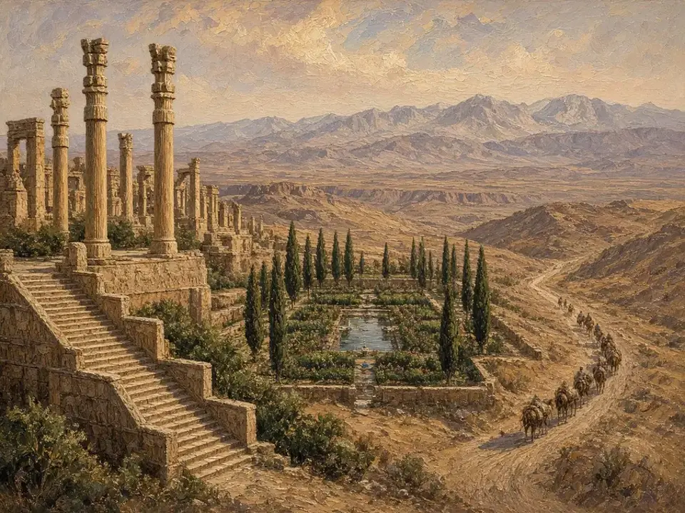
The Iranian plateau and adjoining corridors sustained long-lived imperial traditions (Achaemenid, Parthian, Sassanid) with administrative, religious, and logistical continuities.
The framework read
The author's reading of this civilization.
- Geography: plateau corridors linking Mesopotamia, Central Asia, and South Asia enabled imperial logistics.
- Style: satrapal administration, road systems, and state religions built cohesion.
- Continuity: recurrent imperial forms adapt to rival great powers (Rome/Byzantium).
Why it works — and how it breaks
- Success: S (federal administration + ideology) + G (cavalry/logistics).
- Failure: S (succession/elite competition) + G (exhaustion vs rival empires) → vulnerability to new ideological-military formations.
By the numbers †
- GDPpeak ~$4.2 billion in 500 CE, ~3-4% of world GDP, imperial coordination, satrapal administration
- Population8-12 million, moderate population, imperial coordination
- Urbanization10-17% urban population, moderate urbanization, largest city: Ctesiphon 150K-200K in 500 CE, imperial coordination
- Fiscal Capacitytax revenue: $0.16B-$0.34B, tax-to-GDP ratio: ~8%, military spending: 50-53% of tax revenue, fiscal-military relationship, imperial coordination
- Technology Index55→60, moderate-high level, imperial coordination, engineering excellence - transportation 14/20, qanat technology, Silk Road integration, innovation rate 4-7 per century
- Institutional Metrics8-12 officials per 10K, 70% tax efficiency, 500-1,000 legal provisions, moderate-high, imperial coordination, satrapal administration
- Demographic Structure36% under 15, 30-36 years life expectancy, 5-6 fertility, 33-39 mortality, imperial coordination, balanced structure
- Infrastructure8,000-12,000 km royal roads, 3,000-5,000 km canals, 250 fortifications, 300 bridges, 70/100 sophistication index, royal roads, qanat systems, Style axis support
† Scholarly estimates.
People over time
Population (millions) †
† Scholarly estimates, drawn as separately published segments.
Economy
† Estimates after Maddison, to 1945, log scale.
Polities as spans
Each bar opens its entry.
People
- Alexander the Great356-323
- Cyrus the Great600-530
Also in the chronicle
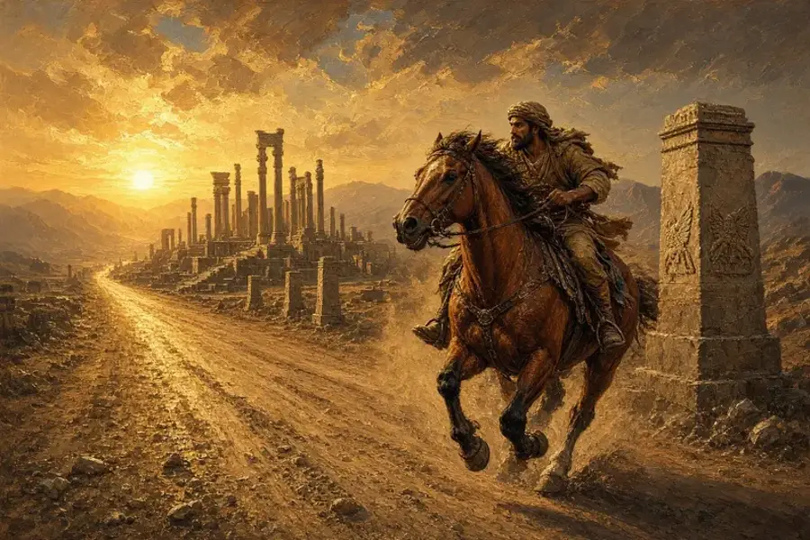
AI-made chronicle art; not evidence.
Patterns and comparisons
Ideas that help read this civilization alongside others.
- State Formation Patterns Across CivilizationsComparison · Compares how different civilizations developed state institutions (temple-palace, bureaucratic, confederative,
- Imperial Administration and ScaleConcept · Administrative systems (bureaucratic, satrapal, federal, tributary) enable imperial scale and coordination, de
- Urbanization Patterns Across CivilizationsComparison · Compares how different civilizations organized urban centers (temple cities, administrative capitals, port hub
- Tribute Systems and Imperial CoordinationConcept · Tribute systems (goods, labor, military service) enable imperial coordination and resource extraction, serving
- Naval Warfare Across CivilizationsComparison · Compares fleet battles in Greek, Roman, Iranian, Ottoman/Latin and Atlantic contexts using records in this pat
Explore this civilization
Polities
Data cards
- Persian/Iranian Civilization Fiscal Data 500 BCE-600 CE
- Persian/Iranian Civilization GDP Data 500 BCE-600 CE
- Persian/Iranian Civilization Military Size Data 500 BCE-600 CE
- Persian/Iranian Civilization Population Data 500 BCE-600 CE
- Persian/Iranian Demographic Structure 500 BCE-600 CE
- Persian/Iranian Fiscal Data (1945-present CE)
- Persian/Iranian GDP Data (1945-present CE)
- Persian/Iranian Infrastructure Data (1945-present CE)
- Persian/Iranian Infrastructure Data 500 BCE-600 CE
- Persian/Iranian Institutional Metrics 500 BCE-600 CE
- Persian/Iranian Military Data (1945-present CE)
- Persian/Iranian Population Data (1945-present CE)
- Persian/Iranian Technology Index 500 BCE-600 CE
- Persian/Iranian Trade Volume Data 500 BCE-600 CE
- Persian/Iranian Urbanization Data (1945-present CE)
- Persian/Iranian Urbanization Data 500 BCE-600 CE
Events
Conflicts in this civilization
Each conflict opens on its polity page. Evidence badges show how well each is sourced; stub-only conflicts carry no figures.
- 26 or 27 September 480 BCE Battle of Salamis (480 BCE) naval battle Primary text read
- Maimacterion (Nov-Dec), archonship of Nicostratus = 333 BCE Battle of Issus (333 BCE) battle Primary text read
- January-July 332 BCE Siege of Tyre (332 BCE) siege Primary text read
- 633 CE-651 CE Muslim (Rashidun) Conquest of Persia (633-651 CE) conquest Primary text read
- 23 August 1514 Battle of Chaldiran (1514 CE) battle Primary text read
- 1532 CE-1555 CE Ottoman-Safavid War (1532-1555 CE) interstate war Stub only
- 26 September 1603-20 November 1612 Ottoman-Safavid War (1603-1612 CE) interstate war Stub only
Art: Patterns of Civilization chronicle art, made with AI: illustrations, not historical evidence. Entries are drafts preserved from civilization.study. Method and sources.